


MELGIS7 CountriesInternational Development
BRAC International - BInsight Platform
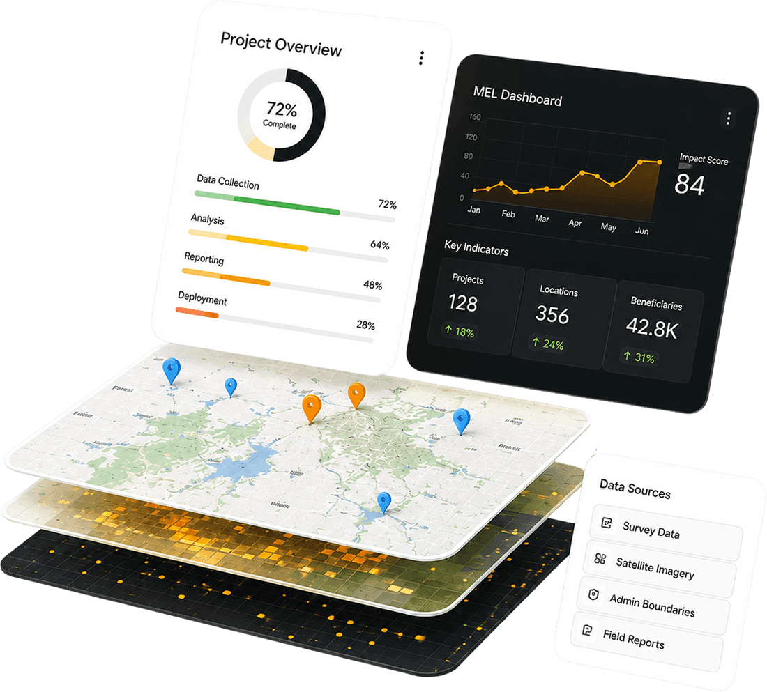
Built and deployed BInsight - a GIS-enabled M&E platform for BRAC International's AIM programme, funded by the Mastercard Foundation. Serves 1M+ adolescent girls across Uganda, Tanzania, Liberia, Sierra Leone, Rwanda, Ghana, and Kenya. Offline-first mobile data collection, PostGIS backend, role-based dashboards for field teams, managers, and donors.
PostGISAngularOffline-firstAWSBRAC · Mastercard Foundation